Geography is more than maps and capitals—it’s the story of our planet, its people, and its landscapes. For students in today’s digital-first world, traditional textbooks may not always capture the excitement of discovering distant places. This is where augmented reality (AR) steps in, turning classrooms into immersive exploration hubs where students can see, hear, and interact with the world in real time.
1. Why Augmented Reality Works in Geography Education
AR overlays digital information onto the physical world through tablets, smartphones, or other devices. For geography, this means:
- Travel without leaving the classroom: Students can “stand” on different continents, explore ecosystems, and compare climates.
- Interactive learning: Instead of memorizing, they can tap, rotate, and zoom into 3D models of landscapes, animals, or landmarks.
- Stronger retention: When learners experience information in a multisensory way, it sticks better than when it’s read in text alone.
- Inclusive opportunities: AR levels the playing field by providing visual and interactive support for diverse learning styles.
2. Turning Lessons into Adventures
Imagine a geography lesson where:
- Students explore the Amazon rainforest and watch wildlife in 3D.
- A class discussion on climate zones is paired with AR visualizations showing how weather patterns shift across the globe.
- Younger learners compare mountain ranges, rivers, or deserts by zooming into digital maps projected right in front of them.
- Older students study cultural heritage sites or simulate the effects of human activity on different ecosystems.
These experiences spark curiosity, promote collaboration, and encourage critical thinking beyond memorization.
3. Practical Ideas for Educators
Educators can integrate AR into geography lessons without needing complex setups. For example:
- AR scavenger hunts: Students work in groups to locate and explore continents or landmarks.
- Compare & contrast activities: Use AR models to compare deserts vs. rainforests, or polar regions vs. tropical zones.
- Cross-curricular projects: Blend geography with history or science—e.g., exploring ancient civilizations alongside their geographic settings.
4. Getting Started
Many free and low-cost AR tools are available for K–6 to K–12 classrooms. Educators can experiment with apps that offer:
- Interactive 3D maps and globes
- Weather and climate simulations
- Cultural and natural heritage models
Even starting small—like projecting an AR map for a single lesson—can transform how students connect with geography.
Conclusion
Geography education is no longer limited to flat maps and static images. With AR, classrooms become portals to the wider world, allowing students to travel across continents, explore diverse ecosystems, and understand global interconnections. By blending technology with traditional instruction, educators can inspire the next generation of explorers, scientists, and global citizens.
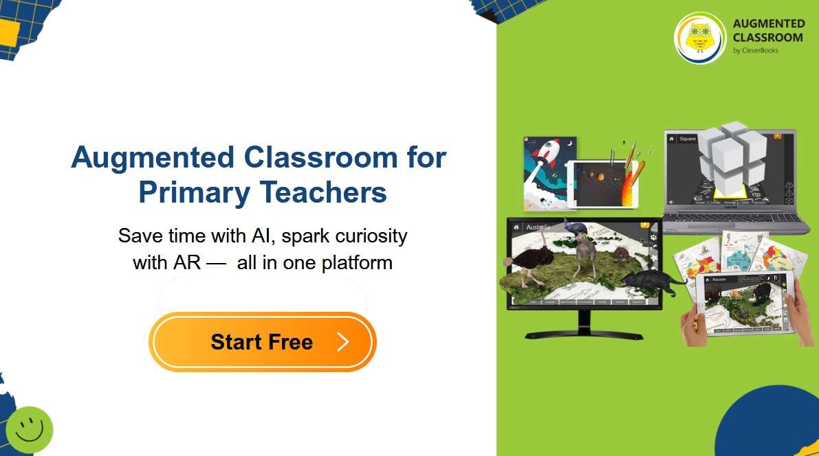
💡 Curious to see how this works in practice? Try a free AR classroom tool and bring the world to life for your students. 👉 https://augmented-classroom.com